Background Information (excerpt from Gilchrist 2019)
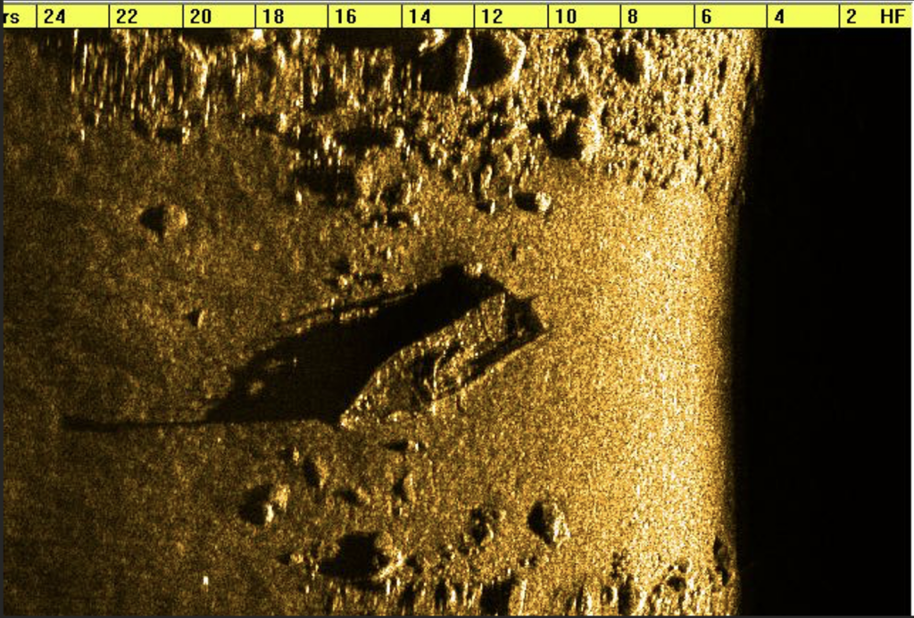
This shipwreck is located on the western side of Little Bear Island in the Moultonborough portion of Lake Winnipesaukee. The shipwreck is about 28 feet (8.53 meters) long and lies in 27 feet (8.2 meters) of water. A side scan image of the Little Bear Island shipwreck is shown in Figure 1.

Figure 1. Side scan sonar image of the Little Bear Island Shipwreck. (Image courtesy of Hans Hug Jr.)
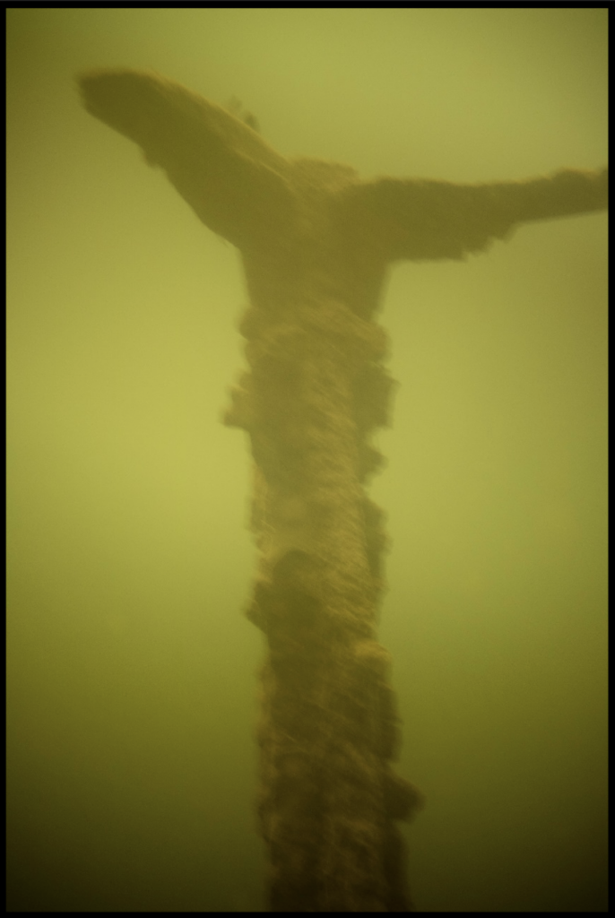
The hull is wooden with a very deep hold and is burned throughout. This indicates that the ship was sunk in some sort of accident. The bow portion of the stem (Figure 2) extends upwards approximately five feet off the bottom, and the transom remains intact (Hug 2017). A propeller and rudder are present and exposed on the shipwreck. Due to the presence of an internal combustion engine in the vessel, it seems to date back to sometime in the 20th century.

Figure 2. Stem of the Little Bear Island Shipwreck. (Image taken by author.)
Diving Information
GPS: N 43 38.448 W 71 19.850
Depth: 27 feet (8.2 meters)
Anchoring: Drop a marker buoy at the GPS coordinates and anchor the boat at least 25 feet away. The easiest place to anchor is between the shipwreck and Little Bear Island, which is shallow.