Background Information (excerpt from Gilchrist 2019)
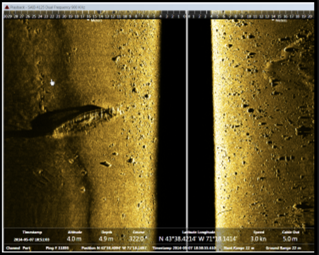
This shipwreck is located off Chase Point in Moultonborough. The shipwreck lies in approximately 40 feet (12.2 meters) of water and is around 35 feet (10.6 meters) long. A side scan image of the shipwreck is shown in Figure 1.
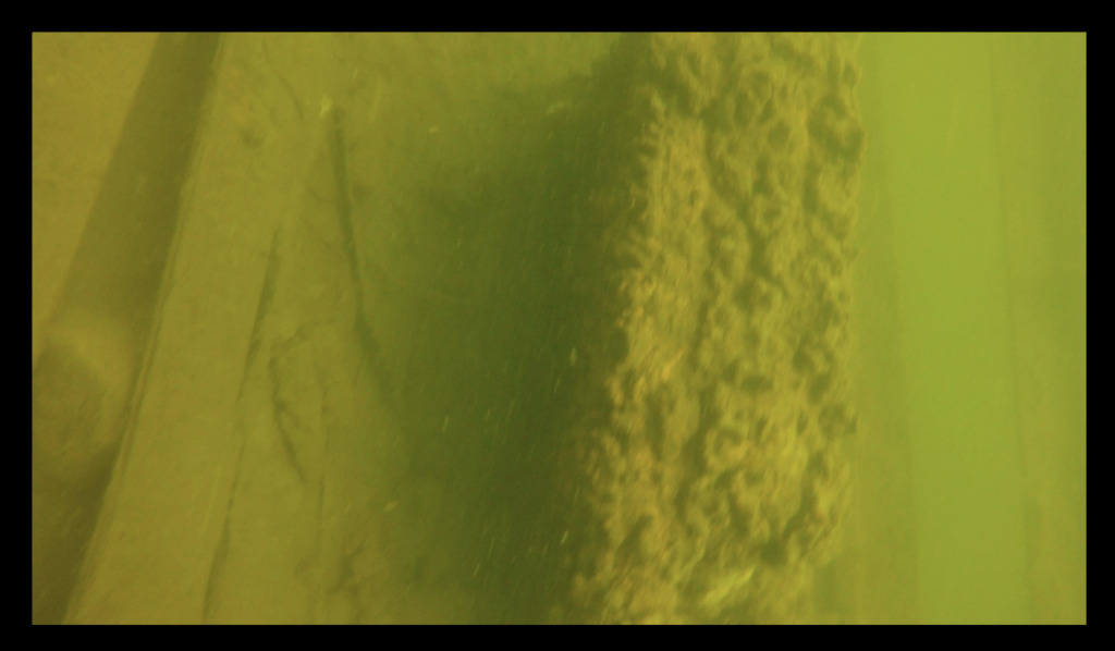
The bottom of this area is rocky and consists of fine silt, which makes the visibility of the shipwreck poor. The wreck is sitting listing to its port side upright on the bottom. The hull of this shipwreck appears to have been burned, which is presumably the cause of its sinking. An internal combustion engine (Figure 19) and batteries are present inside of the hull, indicating the vessel is probably from the middle to late 20th century. All gunnels and siding have been burned off the hull, except for portions of the transom and the bow, which rise prominently from the shipwreck. The visibility at the site was low on the day it was visited, with less than 5 feet (1.5 meters).

Figure 1. Side scan sonar image of the Chase Point Vessel. (Image courtesy of Hans Hug Jr.)

Figure 2. The internal combustion engine on the Chase Point Vessel.(Image taken by author.)
Diving Information
GPS: N 43 38.410 W 71 18.141
Depth: 40 Feet (12.2 meters)
Anchoring: Drop a marker buoy at the GPS coordinates, then anchor at least 25 feet away. Anchoring between Chase Point and the shipwreck in shallow water is easiest.